
Orienteering maps are amazing in their accuracy, detail and cartography. Orienteering maps take a long time to survey then draw. This quick overview Where do orienteering maps come from? by David Jukes of BKO gives an insight into the process of producing maps.
O Maps at World of O
A vast collection of maps from around the world can be viewed at World of O maps
O Maps at World of O, by Jan Kocbach, is an incredible resource that enables you to immerse yourself in orienteering maps and route choices
It is now possible to view many maps with a course but without a route for armchair skills practice, then compare your route to the uploaded version. Most maps have a course on, but some are without.
World of O also has 2D rerun and 3D rerun to allow you to see competitors’ GPS traces on courses in real time. The 3D version interacts with Google Earth to simulate a 3D view of the terrain with the map superimposed on it.
http://news.worldofo.com/2011/06/05/finally-3drerun-open-to-everyone/
The Route to Christmas series is a great way to see interesting legs on courses from throughout the year. See World of O
How would you solve the route choice challenge of this leg?
![]()
The route analysis for this leg is here:
http://news.worldofo.com/2019/12/18/route-to-christmas-day-18-2019/
Powered by WebRoute – WorldofO.com
Routegadget UK
https://www.routegadget.co.uk/
Routegadget UK holds maps from UK orienteering clubs races, with courses and competitor’s GPS traces. It is very helpful in post-race analysis.
Orienteering maps.net
This is an interesting selection of some of the best orienteering maps from around the world.
From the website: “The “101 orienteering maps” blog was started by Jan Kocbach & Ivan Nagy with the general aim to open a discussion not only about the most outstanding orienteering areas of the world – but also about different aspects of orienteering maps, mapping and to some extent about the essence of the sport itself.”
Here is an inspiring example, Surebridge Mountain in the US, scene of the 1993 World Orienteering Championships. Visit Orienteeringmaps.net for more details and other fantastic maps.
http://orienteeringmaps.net/blog/
Further map extracts would be welcome, to use as examples to support the skills discussions. Contributions are welcome. Include proof of permission of the copyright holder where required.
Lars Palmqvist Digital Orienteering Map Archive
This is literally every map Lars has run on since 1961. A fascinating collection.
Open Orienteering Map UK OOMUK map creation tool

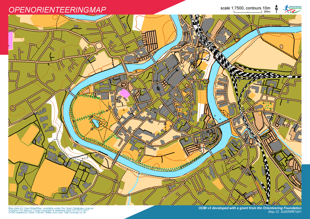
When using these maps it is extremely important to remember the following:
1 Orienteering depends on the good will of landowners.
2 Do not trespass. (And certainly do not enter land without permission, with any form of orienteering map in hand).
3 To use OOMUK maps for personal training keep to rights of way, streets and public parks and common land where you have a right of access.
4 Do not put out any control markers or any other items identifiable as being associated with orienteering. You always need permission for this.
5 Do not organize any form of race or competition without permission from the relevant landowners and where relevant the local authority. OOMUK maps are NOT suitable for orienteering in forest/ moorland. If you want to practice in these areas try a permanent course or check out the British Orienteering fixtures list for training and events near you. OOMUK maps are intended for streets and city parks with full public access. They do no have sufficient detail to be used safely in other terrain.
6 You use the map at your own risk and are not insured in anyway.
7 Groups (such as schools and scouts groups) who ignore these simple requirements can jeopardize access for orienteering not just for the area they run on, but for other areas within the same local authority or with the same landowners. Contact your local orienteering club (find them via British Orienteering) for school site maps and help with schools competitions. Orienteering clubs are engaged in a lot of outreach activities.
OOMUK is at: http://oomap.co.uk/gb/#/new/streeto/8/-0.9000/51.8000/
You can of course contribute improvements to the OSM database. That process is not covered here.
